The Crawford County’s Land Conservation Department and its auxiliary Land & Water Plan Advisory Council drew from a thorough assessment of the county’s topography, resources and challenges in developing the 2016-2025 Land and Water Resource Management Plan.
The county is rich in beauty and natural resources, and has many conservation successes in which to take pride. The county also has conservation challenges and a history of coming together to tackle them and protect the natural heritage.
Overview resources
There are five soil areas in the county – Uplands, Sandy Terraces, Silty Terraces, Silty Bottoms and Alluvial.
Midwest Reclamation Planners completed a Soil Erosion Control Plan in 1987 and calculated an average erosion rate of 8.5 tons/acre/year-soil loss, which is above the T-value or allowable soil loss limit of 5.0 tons/acre/year.
Conservation efforts, stimulated by the 1985 Farm Bill and the Farmland Preservation Program, have resulted in reduced soil loss rates in the county of 2.2-tons/acre/year as figured in the 2009 Crawford County transect survey.
In Rush Creek, the average erosion rate is 3.8 tons/acre/year; in Millville Creek, 3.3; in the Lower Kickapoo River, 2.9; in Reads & Tainter Creek, 2.8; and in Knapp Creek, 1.7.
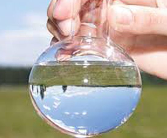
Barnyard runoff and spreading of manure (especially on frozen ground) are the two principal sources of animal waste pollution in the county. Bacteria, sediment, ammonia and nutrients are the major culprits that foul the water.
Crawford County farmers have followed a statewide trend and expanded their operations, resulting in fewer barnyards and more confined herds. The result is fewer barnyard issues, but more land spreading problems, especially in late winter and early spring.
Currently, 16 dairies in the county average between 100 and 200 cows milked daily with approximately a third confining the herd and two-thirds using pasture in their management.
The rotational grazing community in the county is growing and is greater than 35 percent of the dairies. Properly managed grazing has been shown to greatly reduce overland flow of waste to waters.
For a time with the advent of commercial fertilizers after WWII, spreading manure for fertilizer declined. This trend has reversed, and farmers are once again seeing the soil fertility building advantages of spreading manure.
There are five major watersheds in the county, Rush Creek, Reads & Tainter Creek, Lower Kickapoo River, Knapp Creek and Millville Creek.
These watersheds are part of two different river basins, managed as Geographic Management Units by the DNR – the Lower Wisconsin basin, and the Bad Axe-LaCrosse basin of the Mississippi River.
Under the Clean Water Act, states must submit 303(d) lists of impaired waters to the Environmental Protection Agency for the purpose of developing Total Maximum Daily Loads.
The watersheds are designated Low, Medium, High or Not Ranked in the Basin plans as a priority for projects to curb Non-Point Source Pollution.
Knapp Creek is ranked Medium, Reads & Tainter Creek, Lower Kickapoo, and Rush Creek are ranked High, and Millville Creek is not ranked.
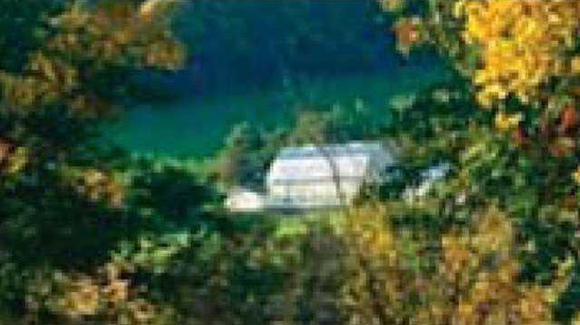
The county contains approximately 415 miles of streams. Fifty-one of these streams totaling 294.11 miles (71 percent) are classified as trout streams. Of these, 176.38 miles (43 percent) are classified Class 1 trout streams. There are no natural lakes in the county.
Because of the topography of the county, sediment from eroding streambanks is a major contributor to the degradation of surface waters.
Streambank erosion occurs naturally at many sites, caused by the steep gradients and resulting high stream velocities. Sites not pastured for extended periods typically grow trees and woody vegetation that replace dense grass cover, resulting in barer ground that erodes more easily.
Referring upsteam to Monroe County’s Middle Kickapoo River Watershed Inventory, 66 percent of degraded streambanks had agricultural erosive impacts. This is considered reasonable to apply to Crawford County, and LCD staff believes this finding shows that cattle exclusion does not necessarily solve stream bank erosion problems.
The DNR classifies high quality streams as either outstanding resource waters or exceptional resource waters, according to Chapter NR 207 ‘Water Quality Standards for Wisconsin Surface Waters.’
Both of these designations indicate that these surface waters provide outstanding recreational opportunities, support valuable fisheries and wildlife habitat, have good water quality, and are not significantly impacted by human activities.
The county currently has no water body designated as an outstanding resource water. Boydtown Creek which feeds into Knapp Creek, Cooley Creek, Copper Creek, South Branch Copper Creek, and Sugar Creek, which feed into Rush Creek, Tainter Creek, and Plum Creek which feeds into the Lower Kickapoo River, are all classified as exceptional resource waters.
The county has experienced decline in the number and quality of wetlands according to the NRCS. Wetlands are vital for flood storage and groundwater regeneration.
In 1979, the DNR wetland inventory showed 27,331 acres of wetlands, (7.5 percent of total county acreage). The majority of the wetlands were located along major stream corridors and in the lower Kickapoo River system as it approaches confluence with the Wisconsin River.
State and federal programs, primarily the Wetlands Reserve Program (WRP) administered by the NRCS have been available to cost-share with private landowners who wish to return their ditched, tiled or drained fields to wetlands. Very few landowners continue to participate in the program.
Most of Crawford County’s forests grow on productive silt loam soils, with hardwoods dominating the landscape. Fifty percent of the county’s 184,400 acres are forested, a three percent increase over the 1980 inventory. The increase is attributed to field abandonment, conversion to pasture, tree plantation and changes in inventory criteria.
Over 93 percent of the forest lands in the county are privately owned. Fragmentation of land and the use value assessment has impacted forest land in the county. Subdividing land into smaller parcels results in land having management issues for certain forestry practices. Overgrazing of livestock in woodlands compacts soil, results in trampling and eating of young trees, damage to older trees, and generally reduced productivity.
The state’s climate scientists suggest that Wisconsin’s warming trend will continue, and temperatures will increase by the middle of the century. This is projected to produce more precipitation overall, heightening the potential for significant soil erosion, affecting water resources and agriculture. Without adaptation measures, future soil erosion rates could double by 2050 compared to 1990 rates.
Agricultural lands hold enormous capacity for climate change adaptation and mitigation, including capacity to efficiently manage floodwaters, mitigate risks to public health, and prevent degradation of water quality.
Changes in temperature and precipitation could affect the state’s growing seasons, crop yields, weed and pest infestations, and animal productivity.
Invasive plants and species have also become an increasingly large problem. Some of the biggest invasive threats include garlic mustard, buckthorn, honeysuckle, wild parsnip, crown vetch, purple loosestrife, reed canary grass, Japanese hops and Japanese knotweed. Gypsy Moth and the Emerald Ash Borer are also invasive species threats.